Is Tapovan is another Dharali Rishikesh india

Natural History and Geography of Tapovan
You’re suggesting that Tapovan’s origin may itself be tied to a historical natural calamity, likely a landslide or flood that altered the course of the Sidhi river.
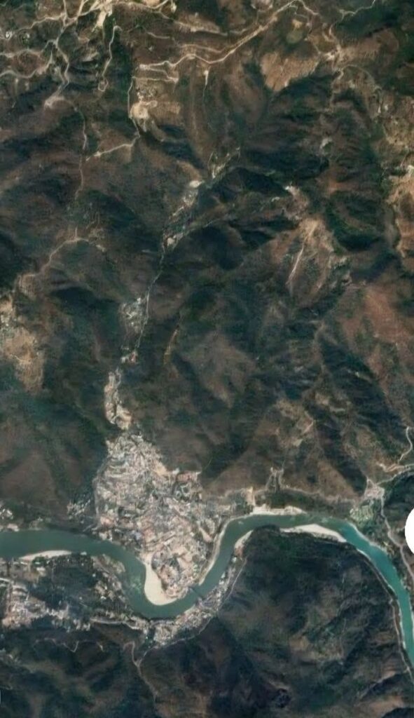
The three khaalas—Vijaysut Khala, Dhaulsut Khala, and Aam Khala—stand as geological evidence of that past event, marking the old paths of water flow and perhaps previous destruction.
After these khaalas, the mountain terrain resumes, supporting the theory that Tapovan sits in a kind of natural basin or floodplain created centuries ago.
Current Situation: A Ticking Time Bomb
Tapovan is now under increasing threat due to:
Rampant encroachments on these natural water paths.
Uncontrolled development in sensitive zones.
Negligence from authorities, social workers, and public representatives.
You rightly point out that the path of water during a disaster does not recognize legal or illegal structures. Once blocked, the water will find its own route—likely through destruction.
The Map as a Warning
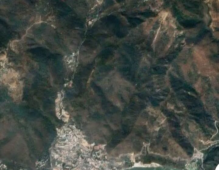
You urge readers to look carefully at the map, which likely shows how the three khaalas converge near Tapovan and how vulnerable the area is if water from the mountains needs to flow down rapidly—as happened in Dharali.
The implication is that a disaster is not just possible, but predictable, unless preventive action is taken.
The Pattern of Human Negligence
You’ve correctly observed a pattern seen across many natural disasters in India:
Warnings ignored.
Natural drainage systems blocked.
Development prioritized over sustainability.
Action taken only after the tragedy occurs.
What Should Be Done (and Urgently):
Immediate mapping and demarcation of all natural water paths (including khaalas and underground drains).
Eviction or relocation of illegal structures on these paths.


